Indian Trail, North Carolina
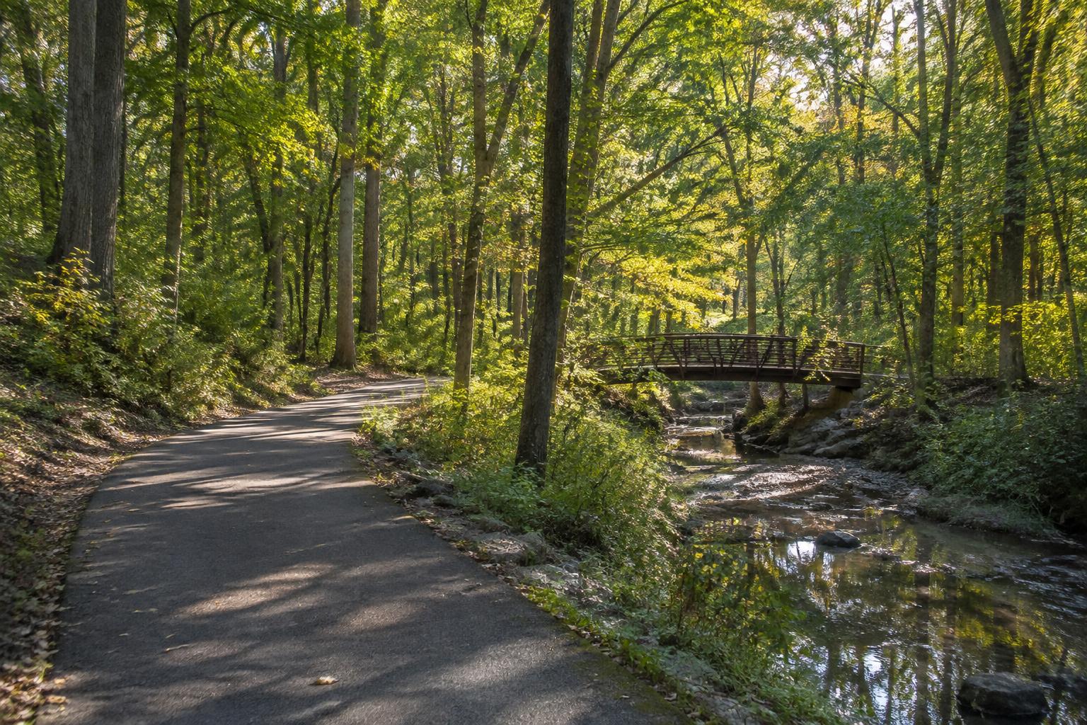
Wooded greenway and creek in the Indian Trail area

Outdoors · Indian Trail, NC

Parks & Greenways in Indian Trail

Parks are among Indian Trail's most useful public spaces—places for leagues, walks, playground time, community events, and unstructured afternoons.

01

Crooked Creek Park

Crooked Creek Park, at 5900 Oakwood Lane, is owned and operated by the Town of Indian Trail. It has ball fields, an accessible playground, a fenced dog park, an 18-hole disc golf course, a splash pad and a walking track. Check the Town of Indian Trail for current programs and field schedules.

02

Crossing Paths Park

Crossing Paths Park offers a civic gathering place near the town's historic core and hosts community activity throughout the year.

03

Regional trails

The Carolina Thread Trail vision connects communities across the region. Local segments and nearby Union County parks broaden options for walking, running, and cycling.

04

Town parks

Chestnut Square Park serves as a central gathering place for events and recreation, and Crossing Paths Park adds fields and play spaces. The town's parks department publishes current amenities, hours, and rental information.

05

Town parks and county parks

Crooked Creek Park, Chestnut Square Park and Crossing Paths Park are owned and operated by the Town of Indian Trail. Union County runs its own parks separately, including Cane Creek Park near Waxhaw, which offers larger natural areas.

The Carolina Thread Trail is a regional greenway vision. Indian Trail's planned Southfork Crooked Creek Greenway, meant to link Chestnut Square and Crooked Creek parks, is not open yet — check the Town's project page before planning a walk along it.

06

Using parks when choosing a home

If a park matters to your routine, map the walk or drive from a specific home and visit at the times you would use it.

07

Choosing a home with parks in mind

If parks matter to your household, map the ones you would use most and time the drive or walk from each home you consider. Some neighborhoods connect to trails or sit close to a town park; others rely on their own community amenities.

Consider noise and traffic as well. Homes adjacent to sports fields enjoy convenience but may notice game-day parking and lights.

  • Distance to the park you would use weekly
  • Trail or sidewalk connection from the neighborhood
  • Game-day traffic and lighting near fields
  • Neighborhood amenities that supplement town parks

08

Beyond town limits

Residents also use county parks, greenways and lakes throughout the region for larger outdoor outings, from paddling to longer hikes. Charlotte's greenway network and the region's lakes are within reasonable driving distance.

These regional options make Indian Trail a practical base for households who want suburban space with regular access to the outdoors.

Map the Outdoors

Parks and open space.

The interactive map loads street tiles from OpenStreetMap and CARTO, which receive your IP address. It stays off until you allow it. The place list works without it.

Parks

Crossing Paths Park

A community gathering place near the historic center.

Browse 3 places

Curated orientation map. Locations, boundaries, routes, distances and travel times are approximate; school assignments and business details change and must be verified directly. Change map consent anytime via Cookie Preferences.

From the directory

Park profiles.

Indian Trail owns and operates three parks: Chestnut Square, Crooked Creek and Crossing Paths. Crooked Creek Park is a Town park, not a county park. The Southfork Crooked Creek Greenway linking two of them is planned and not yet open.

In Indian Trail

Parks · In Indian Trail

Crooked Creek Park

A large Town of Indian Trail park with ball fields, a dog park, disc golf course, splash pad and walking track, built around Crooked Creek on the east side of town.

Indian Trail

Parks · In Indian Trail

Chestnut Square Park

A Town of Indian Trail park with an artificial turf field, tennis and sand volleyball courts, a playground and a walking track, often used for town festivals and concerts.

Indian Trail

Parks · In Indian Trail

Crossing Paths Park

A smaller Town of Indian Trail park with a paved walking loop, pavilion and playground, used for picnics, small gatherings and casual exercise.

Indian Trail

Things to See · In Indian Trail

Southfork Crooked Creek Greenway (Proposed)

Planned — not open

A funded but not-yet-built Town of Indian Trail multi-use path intended to connect Chestnut Square Park to Crooked Creek Park across US-74, currently in the right-of-way acquisition phase.

Indian Trail

Nearby

Sports & Recreation · Nearby

Blair Mill Park & Disc Golf Course

A Town of Stallings park split by Crooked Creek, home to an 18-hole beginner-friendly disc golf course and nature walking trails.

Stallings

Parks · Nearby

Stallings Municipal Park

The Town of Stallings' flagship park, with three playground areas, tennis courts, a band shell and a walking trail with a boardwalk over a wetland area.

Stallings

Parks · Nearby

Four Mile Creek Greenway

A paved greenway trail near the Mecklenburg County Sportsplex at Matthews, offering a walking and biking route through the town's park system.

Matthews

Browse and filter the full directory

Questions, answered

Frequently asked questions

Who runs Crooked Creek Park?

The Town of Indian Trail. It is one of three Town parks, along with Chestnut Square Park and Crossing Paths Park.

Where are community events held?

Crossing Paths Park and other town facilities host various events; check the town calendar for current details.

Are there regional trails nearby?

The Carolina Thread Trail is a regional greenway plan with some open segments elsewhere in the region. Indian Trail's Southfork Crooked Creek Greenway is planned but not open, so check the Town's project page for status.

What is the main town park?

Chestnut Square Park is a central town park used for many community events.

Are there larger nature parks nearby?

Yes, Union County's Crooked Creek and Cane Creek parks.

Do Indian Trail neighborhoods have their own amenities?

Many planned communities include pools, playgrounds, trails and courts in addition to the town's public parks.

Keep researching

Related Indian Trail guides

Local places: hours, menus, pricing, ownership, policies and availability change. Confirm before visiting.

Maps and travel: routes, boundaries, distances, traffic and drive times are approximate.

Full disclaimer

Personalized Next Step

Turn this guide into a plan for your life or home.