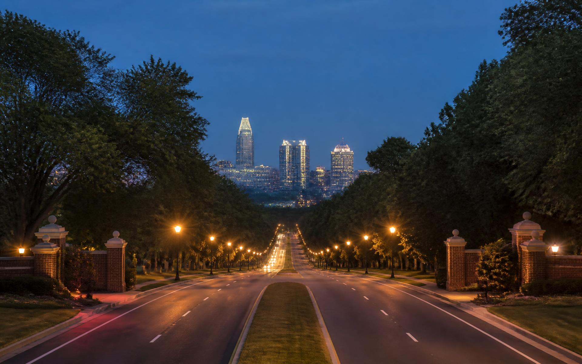
Road and landscape view showing the setting of Indian Trail near Charlotte

Connected Living · Indian Trail, NC

Where Is Indian Trail, NC?

Indian Trail sits southeast of Charlotte in Union County, directly east of Matthews. Its location offers suburban scale with access to the region's employment, airport, shopping, and cultural centers.

SE

Of Charlotte

East

Of Matthews

US-74

Primary corridor

01

The regional position

US-74 connects Indian Trail toward Matthews, Charlotte, and Monroe. I-485 provides regional access from the west, while local routes such as Indian Trail–Fairview Road, Unionville–Indian Trail Road, Old Monroe Road, and Wesley Chapel Stouts Road shape everyday movement.

02

Commutes are address-specific

Drive times vary significantly by starting point, destination, school traffic, and construction. Test the route during the actual hour you expect to travel rather than relying on an off-peak estimate.

03

Growth and mobility

Indian Trail's growth brings shops and services closer, while also increasing pressure on key intersections. Review current transportation projects and future land-use information when comparing locations.

Explore the Area

The Indian Trail map.

Area

Indian Trail Town Hall

The civic heart of Indian Trail and a useful center point for exploring town.

Browse 19 places

Curated orientation map. School assignments, business details, routes, and travel times should be verified directly.

Questions, answered

Frequently asked questions

What county is Indian Trail in?

Indian Trail is in Union County, North Carolina.

Is Indian Trail part of Charlotte?

No. Indian Trail is an incorporated town southeast of Charlotte and east of Matthews.

What is the main highway through Indian Trail?

US-74 is the primary east-west commercial and commuting corridor.

Personalized Next Step

Turn this guide into a plan for your life or home.